Falls Sie nur das lesen
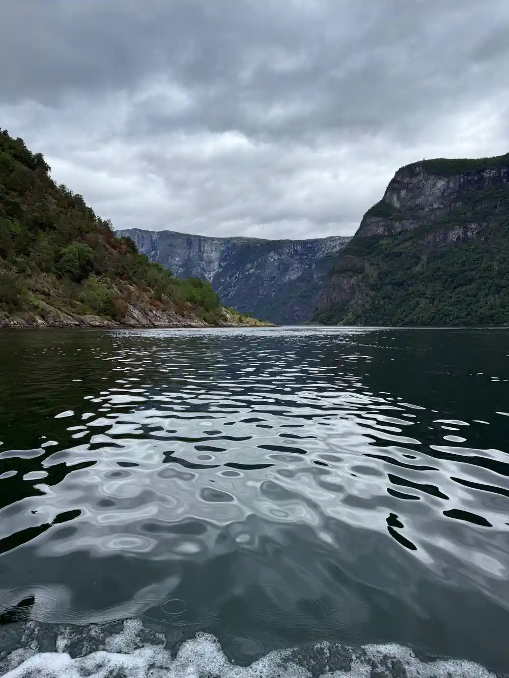
- Der Nærøyfjord ist 20 km lang und an seiner engsten Stelle nur 250 Meter breit, mit steilen Felswänden, die 1800 Meter hoch aufragen.[1][2]
- Bauernhöfe klammern sich an die steilen, grünen Wände über dem Wasser, Teil einer Landschaft der Westnorwegischen Fjorde, die von der UNESCO erstmals im Jahr 2005 anerkannt wurde.[3]
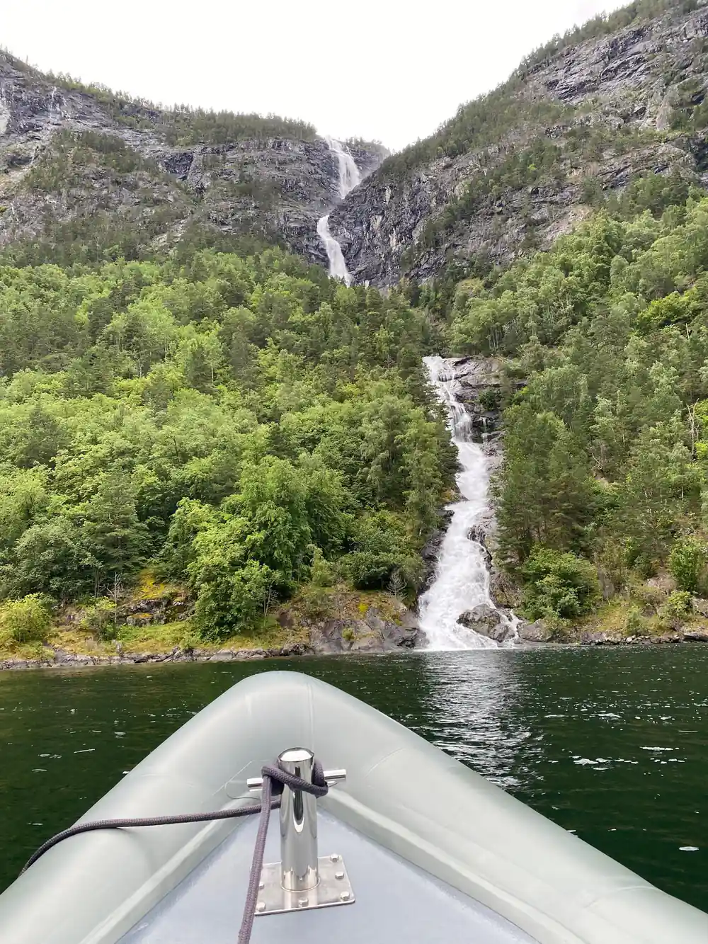
- Kjelfossen stürzt 150 Meter im freien Fall am Kopf des Nærøyfjords; sein Gesamtabsprung beträgt 840 Meter.[4]
- Eine zweistündige RIB-Bootstour ab Flåm führt unter den Felswänden entlang mit einem englischsprachigen Guide, ab US$146.[5]
- Felsenseeleben leben sowohl im Aurlandsfjorden als auch im Nærøyfjorden; achten Sie darauf, dass sie sich auf den Felsen sonnen.[6]
| RIB-Safari | Klassische Kreuzfahrt | Bahn und Kreuzfahrt | |
|---|---|---|---|
| Ab | ab US$146[5] | ab US$62[7] | ab US$396[8] |
| Dauer | 2 Stunden | 2 Stunden | 11 Stunden[8] |
| Reiseleiter | Live-Englisch-Sprechender Guide[5] | Kein Guide angegeben[7] | Live-Englisch-Sprechender Guide[8] |
| Toll für | Nahaufnahmen der Höfe an den Felswänden | Eine ruhige, stabile Kreuzfahrt | Ein voller Tag aus Bahn und Fjord |
Der Nærøyfjord ist einzigartig mit steilen Bergabhängungen, die 1800 Meter hoch aufsteigen, wilden Wasserfällen und einer lebendigen Kulturlandschaft.
Die Wände sind die eigentliche Attraktion
Gut zu wissen
Packen Sie für den Fjord
- Schichten sind ideal; das RIB fährt schnell, und der Wind beißt selbst im Sommer.
- Regen ist jeden Monat möglich: Der monatliche Niederschlag in Flåm liegt zwischen 22 mm und 84 mm.[11]
- Bringen Sie eine Karte für die Verpflegung mit; die RIB-Tour beginnt bei 146 US$.[5]
- Die klassische Kreuzfahrt beinhaltet einen Audioguide.[7]
Was Sie sehen werden
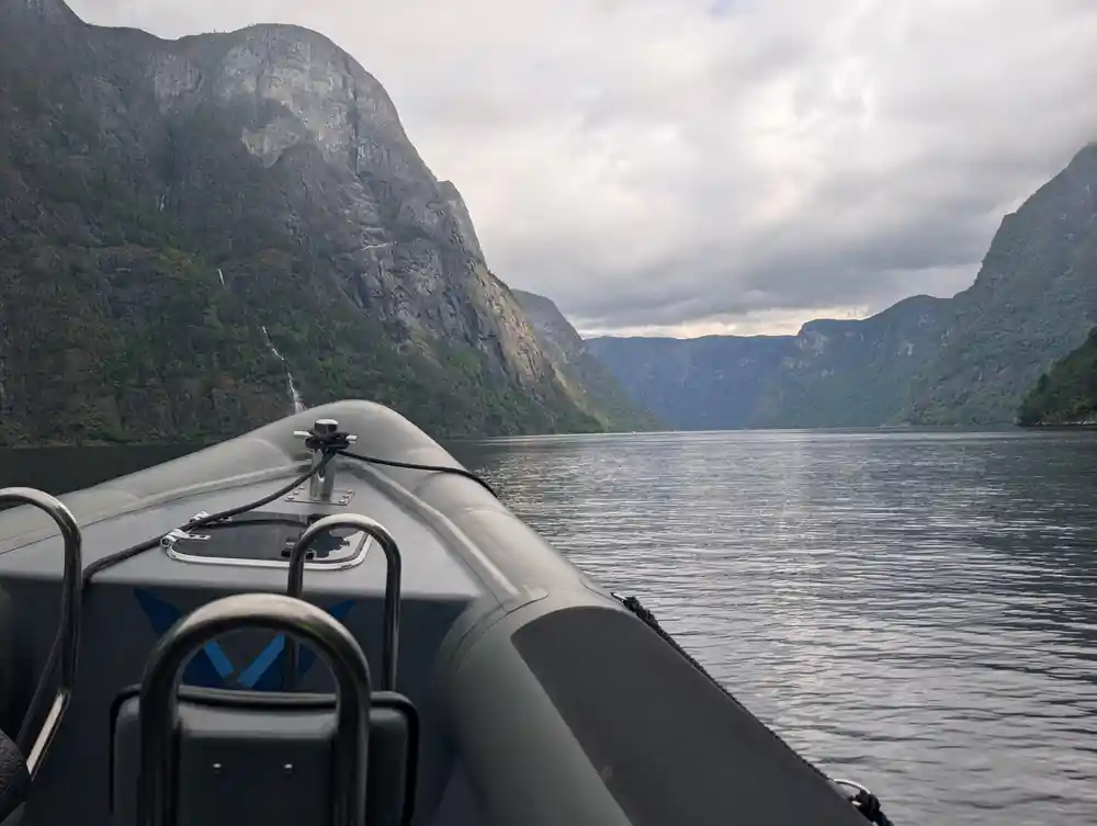
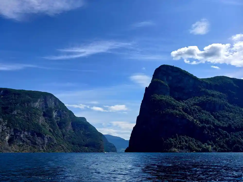
Blicken Sie vom Deck auf und das Erste, was Sie bemerken, ist die Enge. Der Nærøyfjord ist 20 km lang und an seiner schmalsten Stelle nur 250 Meter breit, und die Bergwände treten nicht höflich zurück. Sie steigen in grünschwarosen Wänden auf, mit steilen Hängen, die bis zu 1800 Meter über dem Wasser aufragen.[1][2] An den Hängen, verstreut wie verlorene Münzen, liegen die Bauernhöfe, die dieser Seite ihren Namen geben.
Die Höfe sind keine Ruinen im üblichen Sinne. Viele sind noch gepflegt, mit gemähten Streifen, Steinmauern und Bootshäusern am Wasserspiegel. Es ist eine lebendige Kulturlandschaft. Die Westnorwegischen Fjorde, einschließlich des Nærøyfjords, wurden erstmals 2005 als UNESCO-Weltnaturerbe anerkannt.[3] Ein Fjord entsteht, wenn ein Gletscher nach dem Aushöhlen seines typischen U-förmigen Tals zurückweicht und das Meer das entstandene Talbecken füllt.[12] Was Sie vom Boot aus sehen, ist diese geformte Gestalt, mit einer menschlichen Geschichte, die sich oben darauf setzt.
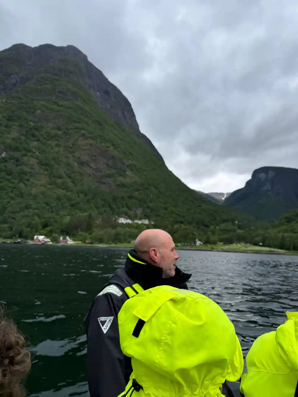
Die Häuser sind in der sanften norwegischen Palette aus Rot, Weiß und Ocker gestrichen. Einige stehen allein; andere sind um ein kleines Feld gruppiert. Vom RIB aus sind die Details nah genug, um sie klar zu erfassen: eine Veranda, ein Holzstapel, ein winziges Fenster, das das Wasser beobachtet. Das ist keine Museumsfassade. Es ist eine Lebensweise, die noch immer gepflegt wird, in einer Landschaft, die sie nicht leicht macht.
Wie eine Familie dort oben gelebt hat
Stellen Sie sich die Arbeit vor, bevor die Straße kam. Eine Familie lebte auf einer Landzunge weit über dem Wasser, erreichbar über einen Pfad, der Ihnen noch heute die Knie schmerzt. Sie hielten ein oder zwei Kühe, bauten Kartoffeln und Heu an und verließen sich auf den eigenen Bauernhofbrunnen. Jede Ladung Vorräte kam denselben Pfad hinauf. Jedes Tier und jedes Heuballen kam im Herbst den Hang hinab. Die flachen Abschnitte, die Sie vom Fjord aus sehen, waren keine natürlichen Terrassen; sie wurden von Hand errichtet, Stein für Stein.
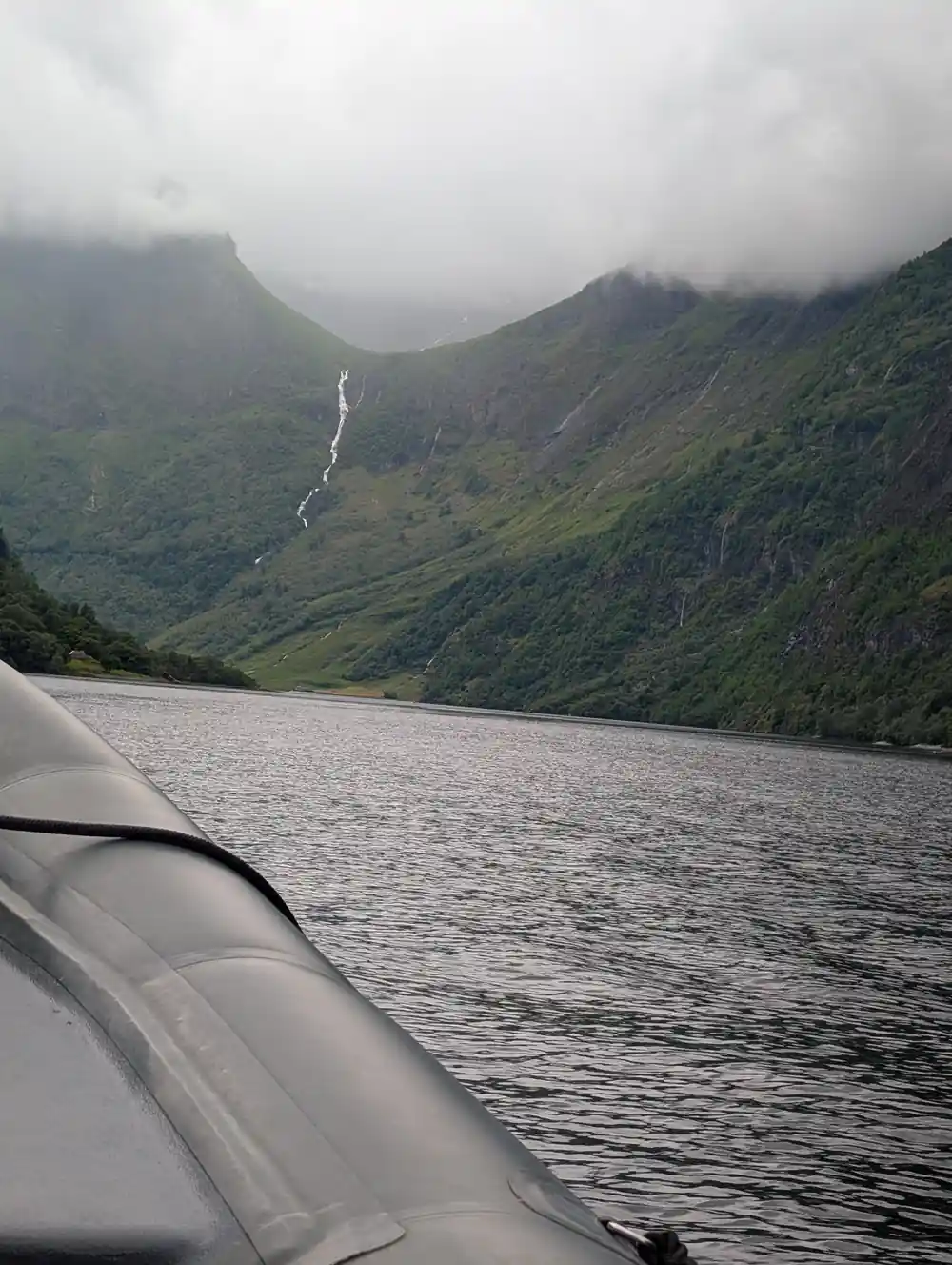
Das Wasser machte die Terrassen nutzbar. Der große Wasserfall am Kopf des Fjords, Kjelfossen, stürzt östlich von Gudvangen mit einem freien Fall von 150 Metern und einem Gesamtabstieg von 840 Metern.[4] Kleinere Wasserfälle und Bäche bewässerten jeden Hof. Nach dem Regen muss der Lärm beständig gewesen sein. Im Sommer, wenn das Gras tiefgrün ist, kann man fast verstehen, warum die Leute blieben. Im Winter, wenn der Fjord dunkel ist und die Klippen über einem liegen, lassen sich die harten Teile dieses Lebens leichter vorstellen.
Betrachten Sie die Bauernhöfe vom Fjord aus und Sie werden bemerken, wie wenige auf dem steilsten Land liegen. Die Höfe wurden dort platziert, wo die Steigung gerade genug abflachte, um ein Feld zu ermöglichen. Die Häuser selbst mögen klein sein, aber die Arbeit darum herum war enorm. Ein Hof war nicht ein einzelnes Gebäude; er war ein System aus Wegen, Zäunen, Scheunen, Heuböden und Landeplätzen, alles auf ein paar vertikalen Hektar verteilt.
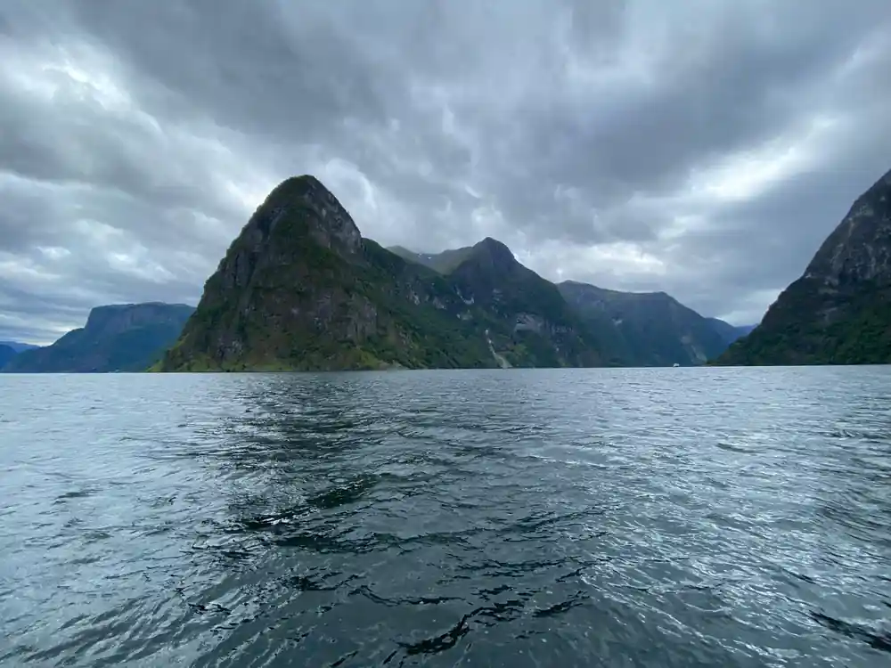
Die alten Höfe wirken an den Wänden über dem schmalen Nærøyfjord wie zum Hängen.
Die alte Straße entlang der Küste
Am Fuß der Klippen verband einst eine alte Straße die Höfe am Ufer. Sie verläuft unter den Terrassen, jetzt teilweise verwildert, aber an manchen Stellen noch klar erkennbar. Sie können Steinmauern, Pfosten und einige abgenutzte Stufen ausmachen. Wenn Sie sie gehen, nehmen Sie sich viel Zeit und tragen Sie feste Schuhe; der Punkt ist nicht, sich zu beeilen, sondern unter den Höfen zu stehen und auf die Pfade zu blicken, die sich von Ihnen weg nach oben schlängeln.
Die Route wird von zwei Dörfern eingerahmt. Gudvangen liegt am Kopf des Fjords und ist heute ein blühendes Dorf mit etwa 90 Einwohnern.[13] Bakka ist die kleinere Siedlung gegenüber, deren Häuser sich um eine weiße Kirche gruppieren. Die alte Straße und die modernen Einrichtungen konkurrieren nicht wirklich. Die Höfe darüber sind es, wegen denen die Leute stehen bleiben und staunen.
Die Höfe lagen entlang der Küste, die Nachbarn nah, auch wenn die Häuser weit auseinander lagen. Ein Spaziergang entlang der alten Route gibt Ihnen ein Gefühl für diese Gemeinschaft, von einer Bucht zur nächsten, immer mit dem Wasser auf der einen Seite und den Wänden auf der anderen.
Bakka, und die noch bewohnten Höfe
Bakka ist der Ort, um langsamer zu werden. Das Dorf hat den Charakter einer Fjord-Bauernhofgemeinschaft, die nicht in ein Souvenir umgewandelt wurde. Von Bakka aus blicken Sie direkt auf die steilsten Wände und die Höfe, die noch bewohnt sind. Die Zeichen sind subtil: ein kürzlich gemähtes Heufeld, ein Holzstoß, Licht in einem Fenster an einem winterlichen Abend.
Einige Bauernhöfe sind eindeutig noch bewohnt; andere sind zu Ferienhäusern für Familien geworden, die den Fjord hinabgezogen sind. Sie müssen ihre Namen nicht kennen, um die Landschaft zu lesen. Eine RIB-Tour von Flåm aus nähert sich denselben Wänden vom Wasser aus, und Sie haben Zeit, den Guide zu fragen, welche Höfe noch bewirtschaftet werden. Die Tour dauert 2 Stunden und wird live auf Englisch geleitet.[5]
Nach der Bootsfahrt nehmen Sie sich Zeit, die kleinen Dinge richtig zu betrachten. Die alten Bootshäuser sind oft in besserem Zustand als die Bauernhöfe. Der Fjord war die Straße, und die Klippen waren die Adresse.
ab US$146
Die zweistündige RIB-Bootstour führt unter den Höfen an den Felswänden entlang, mit englischsprachigem Guide. Später bezahlen; bis zu 24 Stunden im Voraus kostenlos stornierbar.[5]
Warum sie gingen
Die verlassenen Höfe sind diejenigen, die die meisten Fragen aufwerfen. Einige Dächer sind eingestürzt; Birkenwälder erobern die Weideland zurück. Dieses Muster findet sich über die Fjordregionen hinweg; kleine Höfe an unmöglichen Hängen wurden über die Generationen aufgegeben. Die Mauern bleiben, zu sorgfältig gebaut, um schnell zu verschwinden.
Das RIB ist der schnellste Weg, um die Dimension dieses Verlassenseins zu spüren. Es fährt zwei Stunden lang unter den Klippen hindurch und kostet ab 146 US$, mit kostenloser Stornierung bis 24 Stunden im Voraus.[5] Wenn Sie ein langsameres Tempo bevorzugen, fährt die normale Kreuzfahrt von Flåm nach Gudvangen ebenfalls ungefähr zwei Stunden.[9] Beide Male passieren Sie dieselben Hofmauern und dieselbe Stille.
Schämen Sie sich nicht, die Guides nach den verwilderten Pfaden, den leeren Scheunen und den Häusern mit neuen Dächern zu fragen. Die Antworten werden für jeden Hof anders sein, und das ist der Punkt. Die Landschaft sieht zeitlos aus, aber sie ist voller individueller Entscheidungen und kleiner Dramen.
Die Höfe vom Wasser aus lesen
Vom Wasser aus erzählt jeder Hof seine eigene kleine Geschichte. Ein Hof musste in der Nähe von frischem Wasser liegen. Am Kopf des Fjords bietet Kjelfossen das dramatischste Beispiel: ein freier Fall von 150 Metern und ein Gesamtabstieg von 840 Metern.[4] Auf dem RIB können Sie den Sprühnebel im Gesicht spüren; von der Kreuzfahrt aus haben Sie den weiteren Blick. Beides funktioniert.
Achten Sie auf das Wasser ebenso wie auf die Wände. Sowohl der Aurlandsfjord als auch der Nærøyfjord sind wichtige Lebensräume für Seehunde, und Sie können sie auf Felsen dösen oder ihre Köpfe aus dem Wasser strecken sehen.[6] Die Seehunde sind hier schon viel länger als die Höfe, aber sie teilen denselben Instinkt: einen Vorsprung finden, festhalten und beobachten, wie das Boot vorbeifährt.
Wenn Sie ein Fernglas mitbringen, werden die Höfe noch lesbarer. Sie können die Fenster, die Nebengebäude und die Steinmauern sehen, die die Schafe am Wandern hindern. An einem klaren Tag sind die Farben außergewöhnlich: grauer Fels, grüne Weide, weiße Wasserfallspuren und rotes Holzhaus. Die Höfe waren nie versteckt. Sie haben einfach darauf gewartet, dass Sie hinaufschauen.
Wann man reist und was man anzieht
Das Wetter in Flåm ändert sich schnell, also lautet die praktische Antwort: Schichten statt eines schweren Mantels. Die monatlichen Durchschnittshöchsttemperaturen in Flåm erreichen 30°C, während das monatliche Minimum auf 6°C sinkt, und der monatliche Niederschlag liegt zwischen 22 mm und 84 mm.[11] Die Morgenstunden auf dem Fjord sind oft ruhiger, was Fotografen und allen, die zur Seekrankheit neigen, entgegenkommt.
Wenn Sie aus Bergen kommen, können Sie die Reise in eine längere Schleife verwandeln. Der klassische Tag beinhaltet die Flåm-Bahn, eine der steilsten Eisenbahnen der Welt, die von 2 Metern auf 867 Meter über dem Meeresspiegel bei einem Gefälle von 5 % klettert.[14] Dann bringt Sie das Boot zurück durch den schmalen Fjord. Nehmen Sie sich ein paar Stunden in Flåm zwischen Zug und Boot, und schauen Sie immer wieder hinauf.
Egal wann Sie hingehen, nehmen Sie sich Zeit, am Wasser zu sitzen. Die Höfe an den Wänden muss man nicht erklimmen, um sie zu verstehen. Sie müssen nur bemerkt werden, und der Nærøyfjord belohnt diejenigen, die hinschauen. Vom langsamen Boot oder dem schnellen RIB sind die alten Höfe über dem Wasser der Teil der Reise, den Sie in Erinnerung behalten werden.
Durchschnittlicher monatlicher Niederschlag in Flåm (mm)
Werte aus der Klimatabelle von Weathermondo für Flåm.[11]
Die Hofmauern sehen: drei Möglichkeiten zu buchen
Preise basierend auf GetYourGuide-Listings.[5][7][8]
Wann planen Sie Ihren Besuch der Höfe an den Felswänden?
Planen Sie Ihre Fjordreise
Wählen Sie Ihre Basis
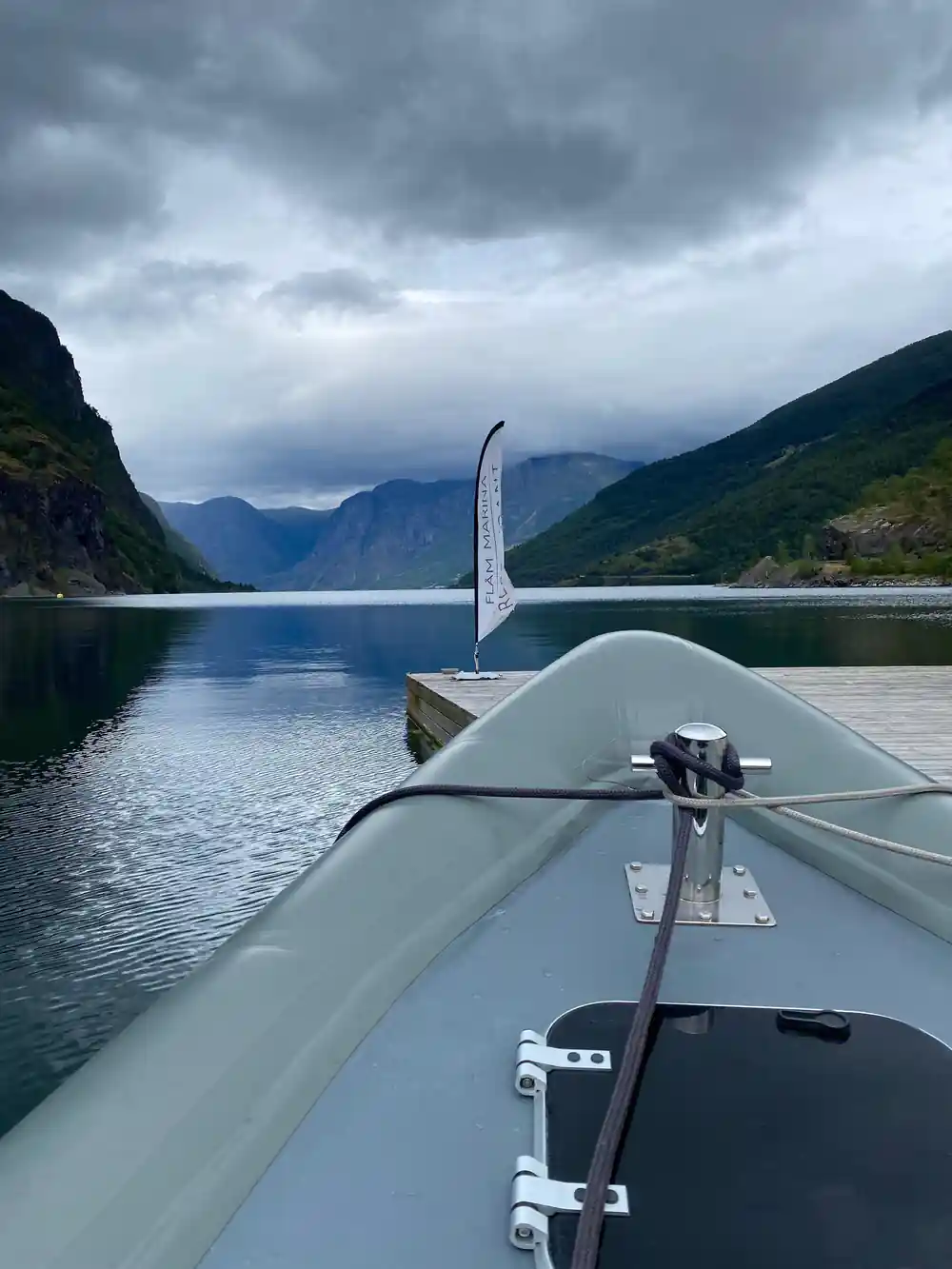
Flåm ist der praktische Ausgangspunkt. Die zweistündige RIB-Bootstour startet hier im Nærøyfjord.[5]
Kleidung für das Deck
Ziehen Sie Schichten und eine wasserdichte Jacke an. Das Boot fährt schnell, daher fühlt sich auch ein warmer Tag unter den Klippen kühler an.
Früh auf Ausschau gehen
Scannen Sie die Hänge kurz nach dem Verlassen des Hafens. Sie werden die ersten Höfe sehen, die sich ins Grün fügen, während der Fjord noch breit ist.
Auf das Wasser achten
Achten Sie auf Felsen und Küstenlinien nach Seehunden; sowohl Aurlandsfjorden als auch Nærøyfjorden sind wichtige Lebensräume für sie.[6]
An den Wasserfällen anhalten
Kjelfossen stürzt 150 Meter in freiem Fall am Kopf des Fjords. Fragen Sie den Guide nach der besten Aussicht.[4]
Weiter mit dem Zug
Wenn Sie einen längeren Tag haben, steigt die Flåm-Bahn nach dem Bootsausflug von 2 auf 867 Meter bei einem Gefälle von 5 %.[14]
Die Höfe vom Wasser aus mit einer RIB-Tour ab Flåm erleben
ab 422 US$Jetzt reservieren, später bezahlen