If you read nothing else
- The Nærøyfjord runs for 20 km and is only 250 meters across at its narrowest point, with steep mountain inclines rising 1800 metres above the water.[1][2]
- It is part of the West Norwegian Fjords UNESCO World Heritage Site, which was first recognised in 2005 and takes in the Geirangerfjord as well.[3]
- The Flåm to Gudvangen sailing takes approximately two hours, and the RIB boat experience from the village runs for 2 hours.[4][5]
- Kjelfossen falls at the head of the fjord, with a free fall of 150 metres and a total drop of 840 metres.[6]
- Gudvangen has about 90 inhabitants, and the all-electric vessel Future of The Fjords works the itinerary between Flåm and Gudvangen.[7][8]
| RIB boat | Fjord cruise | Guided kayak | |
|---|---|---|---|
| From | from US$146[5] | from US$62[9] | from US$179[10] |
| Duration | 2 hours[5] | 2 hours[9] | 6 hours[10] |
| Guide or group | Live tour guide: English[5] | Audio guide[9] | Limited to 8 participants[10] |
| Cancellation | Cancel up to 24 hours in advance[5] | Cancel up to 24 hours in advance[9] | Cancel up to 24 hours in advance[10] |
| Payment | Reserve now & pay later[5] | Reserve now & pay later[9] | Reserve now & pay later[10] |
The Nærøyfjord is unique with steep mountain inclines, ascending 1800 metres high, wild waterfalls, and a living cultural landscape.
Is the Flåm RIB boat the right way to see the Nærøyfjord?
Things to check
Where the Nærøyfjord sits
The Nærøyfjord is the narrow inner arm of the Sognefjord system, in Vestland county on the west coast of Norway. Flåm sits at the head of the Aurlandsfjord, and the water runs south west from there, tightening as it goes, until the cliffs close in near Gudvangen. The channel is 20 km long and only 250 meters across at its narrowest point.[1] The Flåm to Gudvangen sailing takes approximately two hours.[4]
A fjord is formed when a glacier retreats after carving its typical U-shaped valley and the sea fills the resulting valley floor.[13] That is the shape of what you look at from the deck: a drowned trough with sides that lift almost straight out of the water, and very little flat ground for farms, roads or anything else. The steep mountain inclines above the Nærøyfjord ascend to 1800 metres high.[2] Above the waterline the rock keeps going up long after your neck gives out.
The Sognefjord that this arm belongs to is deeper again, with a deepest part of 1300 meters.[14] Gudvangen, at the far end of the narrow section, has about 90 inhabitants.[7] From the water these little settlements feel like the only landmarks for miles, and for most of the crossing they nearly are.
The Nærøyfjord's dimensions, honestly
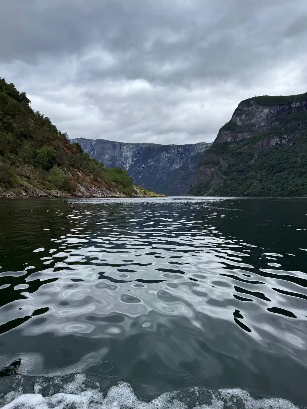
The headline figures are easy to hold in your head. The Nærøyfjord runs for 20 km, and at its narrowest point it measures 250 meters across.[1] On the water that second number stops being abstract. Two boats passing each other is an event, and the shore looks close enough to reach out and touch. In places this is a corridor rather than a bay, which is exactly why a small boat beats a large one here.
Height matters as much as width. The steep mountain inclines above the fjord ascend to 1800 metres high.[2] Rock that tall on both sides is why the light on the water changes so quickly as you move through, and why long stretches stay in shadow well into the morning. It is also why the wind funnels down the valley with real bite, even on a still day somewhere else.
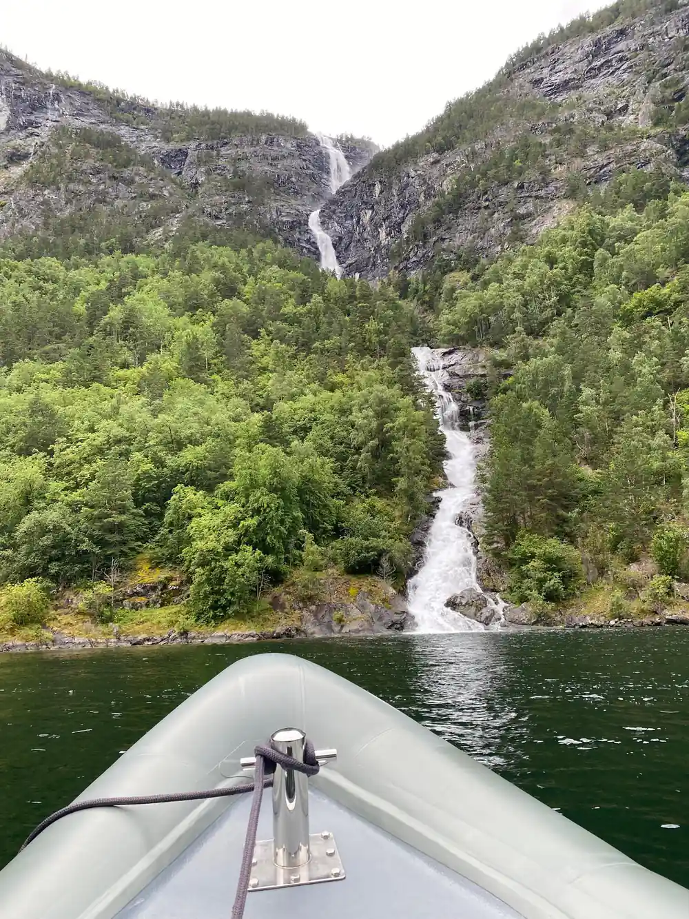
Waterfalls are the other measurement people ask about. Kjelfossen runs down at the head of the Nærøyfjord, with a free fall of 150 metres and a total drop of 840 metres.[6] After heavy rain the smaller streams that thread the walls turn white as well, and you tend to hear them before you pick them out against the rock. A wet night before your trip is not always bad news.
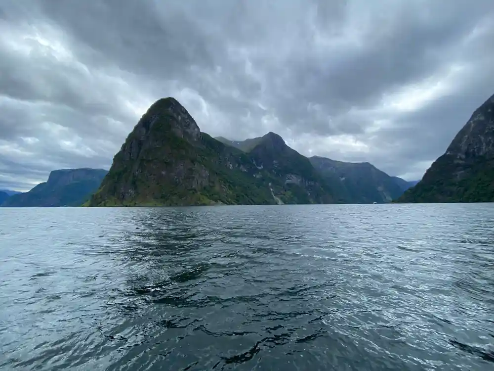
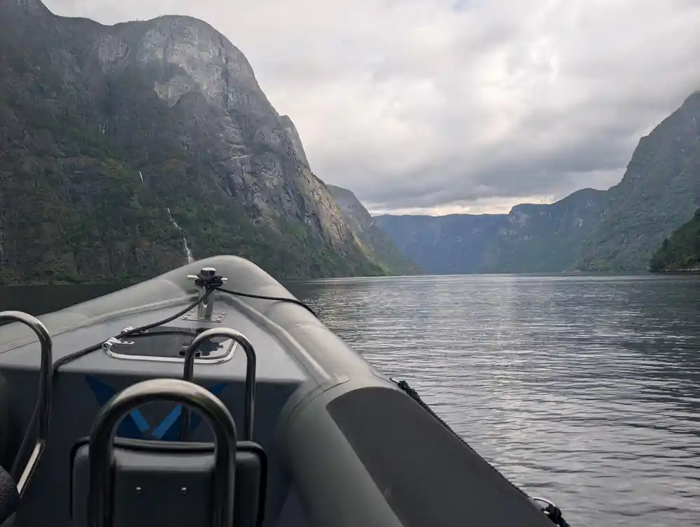
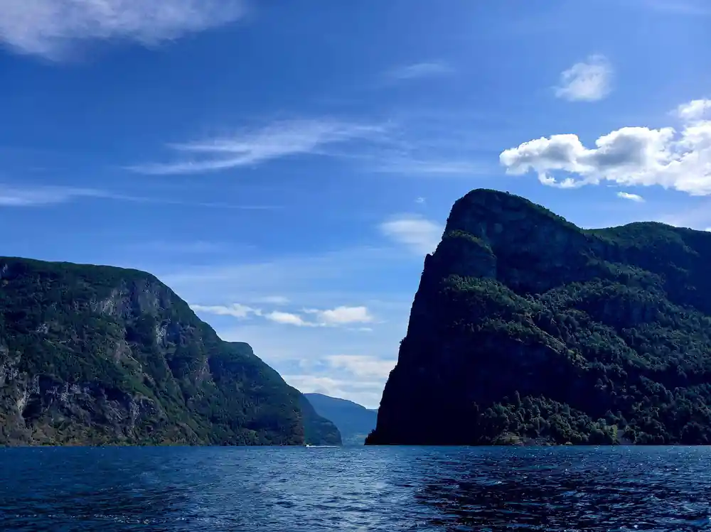
Cliffs rise straight from the water where the Nærøyfjord narrows near Gudvangen.
What the World Heritage listing is for
The Nærøyfjord is part of the West Norwegian Fjords UNESCO World Heritage Site, which was first recognised in 2005.[3] The listed area covers two main fjords, the Nærøyfjord and the Geirangerfjord.[3] The label sits on a whole landscape rather than on a single viewpoint, a building or a monument.
Wildlife is part of what the area holds. Both the Aurlandsfjorden and the Nærøyfjorden are important habitats for harbor seals, which are often seen in small groups basking on rocks or popping their round heads out of the water.[12] If you are paddling, keep your distance and keep quiet, and you may get a longer look before they slip back under.
What the listing means for a traveller is simple. The water you are crossing has been judged exceptional at a global scale, and it rewards a slower look: cloud moving on the walls, streams that appear after rain, the few flat patches where farms have hung on for generations. The numbers behind the judgement are easy to see, with walls rising to 1800 metres above the water[2] and a waterfall at the head with a total drop of 840 metres.[6]
What the name Nærøyfjord means
The name is a description rather than a dedication. In Old Norse, nær carries the sense of narrow, and øy means island, so Nærøyfjord is usually read as the fjord by the narrow island, or simply the narrow one. Say it out loud and the sound fits the place: nair-oy-fjord, with the weight on the first syllable. Locals will understand you either way.
The other names along this stretch of water work in the same fashion. Flåm is generally traced to an old word for a fast running stream or a flood, which suits the river coming down through the valley behind the village. Gudvangen is usually explained as the field of the gods, from guð and vang, a flat field or meadow.
None of this is essential to enjoying the day, but it helps when you are reading a map or a timetable. Flåm and Gudvangen sit at opposite ends of the narrow part of the fjord, and the one way sailing between them takes approximately two hours.[4] Knowing which end you start from saves confusion at the ticket desk.
from US$146
A 2 hour RIB boat trip from Flåm, with a live tour guide in English and free cancellation up to 24 hours in advance.[5]
Why the Nærøyfjord feels so quiet
There is very little here to make a noise. Gudvangen, the village at the far end of the narrow water, has about 90 inhabitants.[7] Much of the shoreline can only be reached by boat or on foot, and the loudest things you are likely to hear are water, gulls and the engine you happen to be sitting behind.
The traffic that does pass through is lighter than the size of the valley suggests. On the itinerary between Flåm and Gudvangen the vessel Future of The Fjords is all-electric.[8] The big ships tie up further out, and the narrow channel mostly carries small boats and kayaks, which leaves the cliffs to do the talking.
Quiet also comes from the shape of the day. Coaches and boats arrive in waves, and between them the fjord empties out, so an early or a late trip often has the water to itself. Winter is quieter again, with snow on the upper walls, low long light, and very few people on the pontoons.
How to see it: RIB, cruise, kayak or rail
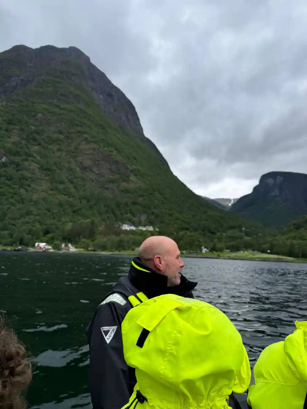
The fastest way into the narrow part is a RIB. From Flåm, the Nærøyfjord RIB boat experience and waterfalls runs for 2 hours, with a live tour guide in English, and prices start from US$146.[5] Reserve now and pay later is available, and cancellation is free up to 24 hours in advance.[5] This is the option that puts you nearest the rock, the spray and the waterfall faces.
If you would rather sit still and let the scenery come to you, the classic cruise on the Nærøyfjord takes 2 hours, sails one way to Gudvangen, and starts from US$62.[9] The Flåm to Gudvangen sailing takes approximately two hours.[4] On that itinerary the vessel Future of The Fjords is all-electric.[8] A cruise is the calmer choice, and the one to take if you have small children or a limited appetite for spray.
Paddlers can book a guided kayaking day from Vossevangen, 6 hours and limited to 8 participants, from US$179.[10] Staying dry is also an option. The Flåm Railway climbs from 2 meters to 867 meters above sea level at a 5% gradient[15], and a guided half-day excursion from Flåm takes 5 hours from US$137.[16]
When to go and what to wear
Flåm's climate table lists average maximum temperatures from 14°C to 30°C across the year, minimum temperatures from 6°C to 22°C, and monthly rainfall from 22 mm to 84 mm.[11] Warm weather also brings the crowds, and the smallest monthly rainfall figure on the table is 22 mm.[11]
Packing is mostly about wind and water. Layers work better than one thick jacket, a thin waterproof shell earns its place on any boat, and a hat and gloves make an open boat ride far more comfortable even in midsummer. Sunglasses and sun cream are worth carrying too, because the light coming off the fjord is bright on a clear day.
Book the water part of your day before anything else, especially in the middle weeks of summer. The Flåm RIB listing lets you reserve now and pay later, and cancellation is free up to 24 hours in advance.[5] If the weather turns, the fjord is still worth seeing from the railway or from a coach, and the showers that close in the view are the same ones that switch the waterfalls on.
Flåm average maximum temperature by month
Every bar is Flåm's average monthly maximum temperature from Weathermondo's climate table.[11]
What the Nærøyfjord costs, by option
From-prices per person from GetYourGuide listings.[5][9][10][16]
When to book the Nærøyfjord
Plan your Nærøyfjord day
Pick your boat
Book the RIB trip for 2 hours on the water, with cancellation free up to 24 hours in advance.[5]
Get to Flåm
Flåm sits at the head of the Aurlandsfjord. Trains, coaches and boats meet here, and the fjord narrows as you head toward Gudvangen.[4]
Layer up
Whatever the month, take a windproof layer, a hat and gloves. Spray and breeze on open water feel far colder than the temperature on land.
Meet at the pontoon
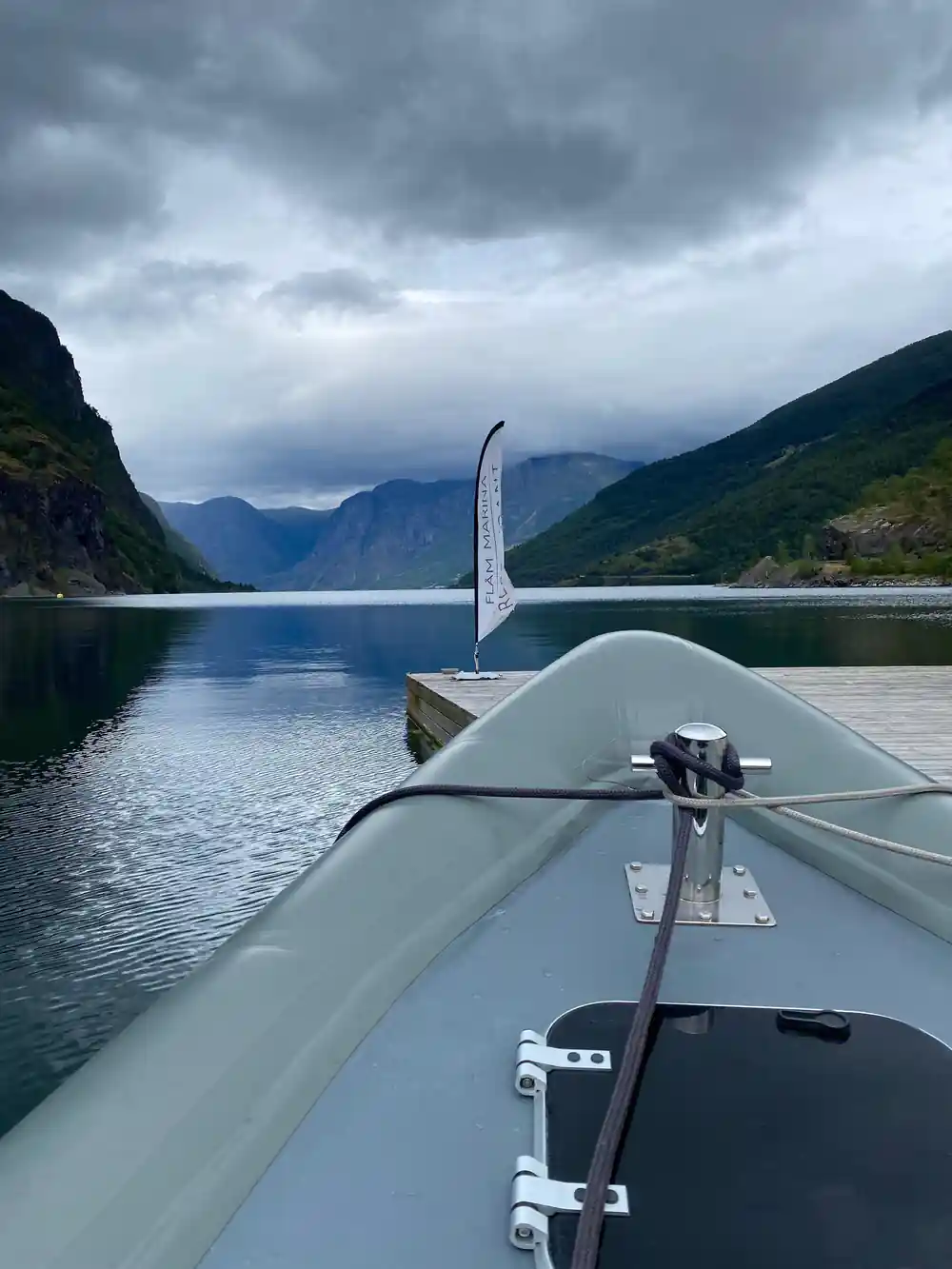
Check in ahead of your slot and keep your booking reference handy. The RIB leaves from Flåm harbour for a 2 hour trip.[5]
Watch the water
Keep an eye out for harbor seals in the Aurlandsfjord and the Nærøyfjord, and for the small streams that streak the cliffs after rain.[12]
Take a fast RIB boat into the Nærøyfjord from Flåm
from US$422Reserve now & pay later