If you read nothing else
- A glacier carved a U-shaped valley, then the sea filled it, creating the Nærøyfjord.[1]
- The fjord runs 20 km long and is only 250 meters across at its narrowest point.[2]
- Steep mountain inclines above the water ascend to 1800 metres, with wild waterfalls and a living cultural landscape.[3]
- Both Aurlandsfjorden and Nærøyfjorden are important habitats for harbor seals, often basking on rocks or popping their heads up.[4]
- From US$146, a 2-hour RIB experience with a live English-speaking guide gets you close to the waterfalls.[5]
| The glacier | The sea | The Nærøyfjord | |
|---|---|---|---|
| The recipe | Carves a U-shaped valley[1] | Sea fills the valley floor[1] | 20 km long, 250 meters at narrowest[2] |
| Scale | Mountains rise 1800 metres[3] | Sognefjord deepest at 1300 meters[6] | Kjelfossen total drop 840 metres[7] |
| Life | Harbor seals in both fjords[4] | Electric vessel Future of The Fjords[8] | Gudvangen has about 90 inhabitants[9] |
| Seeing it | Flåm Railway climbs 5% gradient[10] | Flåm to Gudvangen cruise about 2 hours[11] | RIB boat tour takes 2 hours[5] |
A fjord is formed when a glacier retreats, after carving its typical U-shaped valley, and the sea fills the resulting valley floor.
The fastest way to feel the fjord's shaping power
Things to check
What ice does that water does not
Rain and rivers cut narrow V-shaped valleys. Ice does something else. A glacier moves slowly downhill, and the sheer weight of it grinds the valley floor and walls into a broad U shape. When the glacier later retreats, the sea pours into the carved trough and a fjord is born.[1] You can see the difference in the cross-section: a river valley tends to have a V profile, while a glaciated valley has a flat floor and steep sides.
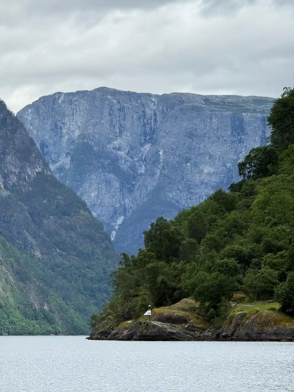
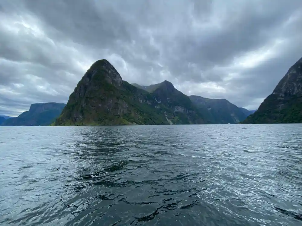
The Nærøyfjord is the result of that process. It runs 20 km long and is only 250 meters across at its narrowest point.[2] The surrounding mountains rise 1800 metres high, which gives you some idea of the size of the ice that once filled this space.[3] Those numbers also explain why the fjord feels so enclosed when you are on the water.
Water alone could not have made this shape. The straight, steep walls and flat floor are the signature of ice, not rivers. A river would meander and carve a narrow slot; a glacier straightens and widens everything in its path. Later, the sea filled the trough, but the underlying geometry remains a glacial one.
Below sea level, which is the whole trick
The sea filling the valley floor is what turns a glacial valley into a fjord.[1] The water hides the deepest part of the cut. The deepest part of the Sognefjord, the great trunk fjord that the Nærøyfjord joins, is 1300 meters.[6] That depth lets large ships and fast RIBs move through the inner waters.
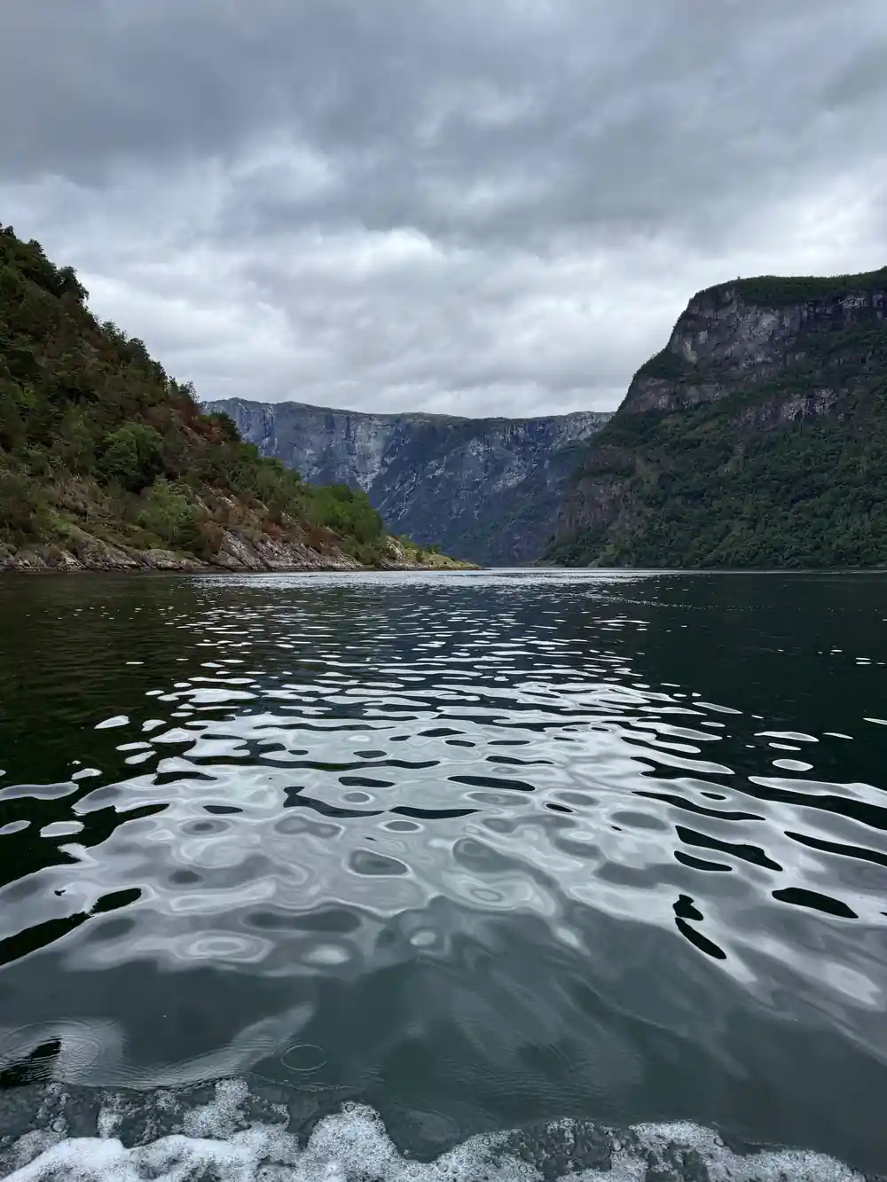
You rarely see that depth from the surface. What you see is dark water that appears suddenly deep, cliff walls that plunge straight down, and a surface that stays calm in the shelter of the mountains. The Nærøyfjord is a side arm of this system, and its narrows make the depth even harder to guess. The water often looks black because the walls block the light.
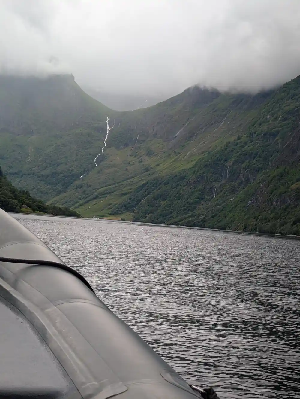
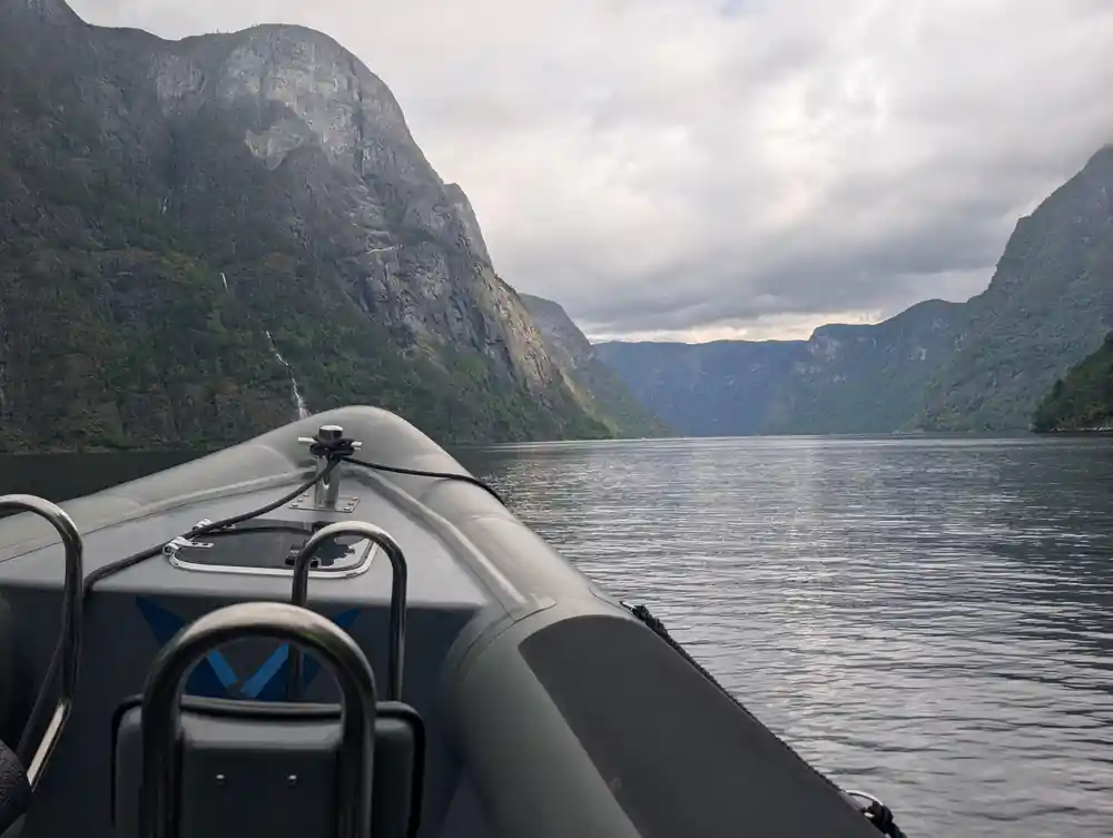
For the traveller, the practical trick is that a boat can push right in close to the cliffs. The water is deep enough for the RIB to swing near the rock, and the steepness makes every waterfall appear out of nowhere. You do not need to understand geology to feel it, but the numbers give you a sense of what is beneath the boat.
A RIB noses toward a waterfall crashing onto dark rock beside the Nærøyfjord.
The sill at the mouth
Many fjords have a rock lip, or sill, near the mouth. The glacier digs hardest in the middle, then drops its debris where it stalls, leaving a shallow ridge. Inside that ridge, the basin stays deep. The inner fjord can sit far below sea level even though the entrance looks modest. The sill helps keep the inner water calm and deep.
At the head of the Nærøyfjord, near Gudvangen, Kjelfossen runs down with a free fall of 150 metres and a total drop of 840 metres.[7] Gudvangen itself is a small village with about 90 inhabitants.[9] The waterfall marks the edge of the fjord, where the valley floor rises again toward the mountain pass.
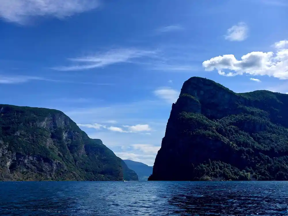
The contrast between the open Aurlandsfjord and the tight Nærøyfjord is one of the clearest signs of the glacier's work. The same ice that carved the wide basin also carved the narrow arm, and the transition comes quickly as you sail west. Watch for the moment the walls close in and the light changes.
Why this arm is so tight
The Nærøyfjord is part of the West Norwegian Fjords UNESCO World Heritage Site, first recognised in 2005.[13] The fjord's narrowness is its defining feature. It is 20 km long, and at its narrowest it is just 250 meters across.[2] Steep mountain inclines ascend to 1800 metres on either side.[3] The scale is hard to hold in your mind until you are actually in the boat.
The tightness also makes the fjord feel like a corridor through the mountains. Waterfalls spill directly into the channel, farms cling to small ledges, and the walls block out much of the sky. It is a landscape shaped by ice and still lived on. The narrowness is not uniform; it pinches and widens as the glacier found harder and softer rock.
The cruise from Flåm to Gudvangen takes approximately two hours, and the fjord narrows from the broad Aurlandsfjord to the tight, cliff-lined Nærøyfjord as you go.[11] That gradual tightening is the clearest way to see the glacial cut in action. On a RIB, the same narrowing passes by much faster, but the sense of walls closing in is just as strong.
from US$146
The 2-hour RIB experience follows the narrow fjord with a live English-speaking guide, from US$146.[5]
How long it took, and whether it is finished
The carving did not happen in one season. Over many ice ages, glaciers advanced and retreated, each time grinding the valley a little deeper and wider. The classic U-shaped profile is the signature of that repeated work.[1] The ice was the tool, and time was the sculptor.
Is it finished? In human time, essentially yes, but not completely. The ice is gone, the sea is in, and the fjord now changes mainly through rockfalls, waterfalls, and the slow work of frost. You are seeing a landscape that is stable enough to live in, yet still active. A waterfall like Kjelfossen is a reminder that water is still rearranging the rock.[7]
For the visitor, the practical answer is that the fjord will look the same tomorrow as it does today, while the light, the tide, and the weather will not. Plan for the weather rather than the geology. The rock has had its time; the water is still working.
Seeing the cut from the water
The most direct way to read the landscape is from a RIB. The Flåm: Nærøyfjord RIB-boat Experience & Waterfalls runs for 2 hours with a live English-speaking guide.[5] The price is from US$146.[5] You can reserve now and pay later, and cancel up to 24 hours in advance for a full refund.[5] The boat is built for speed. You cover the narrowest water without spending the whole day on it.
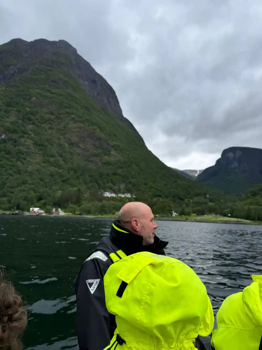
A RIB is small enough to approach the cliff faces and waterfalls in a way a big cruise boat cannot. The guide points out the geology, the farms, and the waterfall lines as the boat skims the narrow water. The same corridor is also served by a conventional cruise; one of the all-electric vessels on the Flåm to Gudvangen route is Future of The Fjords.[8]
If you want to see the vertical scale before or after the boat ride, the Flåm Railway offers another perspective, climbing from 2 meters to 867 meters above sea level at a 5% gradient.[10] The combination of rail and water gives you both the top-down and bottom-up views of the same glacial cut. On a clear day, the snow on the high ground makes the contrast with the green floor even more obvious.
Plan your day at the water's edge
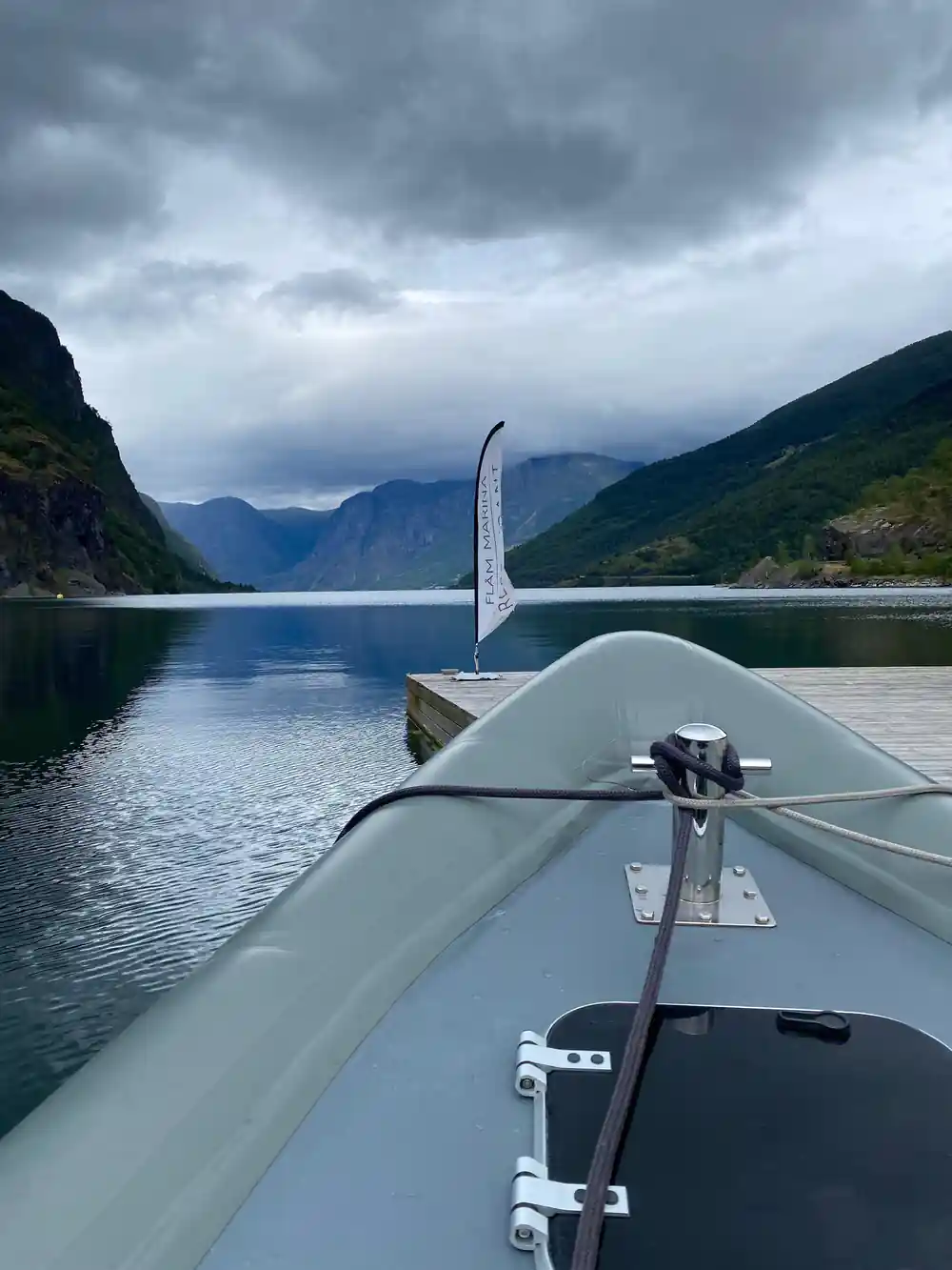
Flåm sits at the inner end of the Aurlandsfjord, and the RIB tour departs from there. The weather can change quickly, so bring layers. In summer, Flåm's monthly average maximum temperatures reach 30°C in Jul and Aug, with Jun at 27°C.[12] Even a warm day can feel cool on the water when the boat is moving, so pack a windproof layer.
At the far end of the fjord, Gudvangen has about 90 inhabitants.[9] It is a small place with limited services. Plan to take food and water with you if you are heading out independently. The RIB tour includes a guide who handles the route. You can focus on the cliffs while someone else watches the water.
Starting times vary, so check availability before you build your day around it.[5] If you want a slower pace, a full-day guided kayaking trip on the Nærøyfjord from Vossevangen is another option at from US$179.[14] A RIB gives you the quick version; a kayak gives you the quiet one. Both put you inside the same glacial corridor.
Summer highs in Flåm
Monthly average maximum temperatures from Weathermondo's climate table.[12]
Compare ways to see the fjord
From-prices in US dollars from GetYourGuide: RIB[5], cruise[15], rail[16]. Child fares are not stated.
When to book and go
How a fjord is cut
Ice moves
A glacier advances slowly, carrying rock and sediment under its weight.
Ice carves
The glacier grinds the valley into a U shape.[1]
Ice retreats
As the glacier melts back, the carved valley floor is exposed.[1]
Sea enters
The sea fills the valley floor and a fjord appears.[1]
Narrow walls
Steep inclines rise 1800 metres, and the fjord narrows to 250 meters.[2][3]
Book the RIB ride and feel the scale of the cut
from US$422Reserve now & pay later